
Canton Criquetot-l'Esneval Local time Tuesday 1:49 AM | Region Normandy Area 10.31 km² | |
 | ||
Weather 7°C, Wind NW at 32 km/h, 80% Humidity | ||
Bordeaux-Saint-Clair is a commune in the Seine-Maritime department in the Haute-Normandie region in northern France.
Contents
Map of 76790 Bordeaux-Saint-Clair, France
Geography
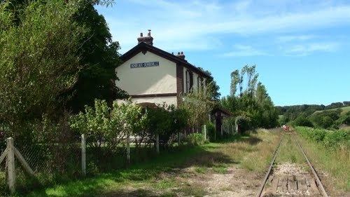
A farming village situated in the Pays de Caux, some 15 miles (24 km) northeast of Le Havre, served by the D940 road between Fécamp and Etretat. The village is around 200 km. away from Paris.
Places of interest
References
Bordeaux-Saint-Clair Wikipedia(Text) CC BY-SA