
Area 44,251 km² Number of airports 1 | Time zone UTC-4 (UTC-4) Local time Monday 8:28 PM | |
 | ||
Weather 26°C, Wind NE at 5 km/h, 89% Humidity | ||
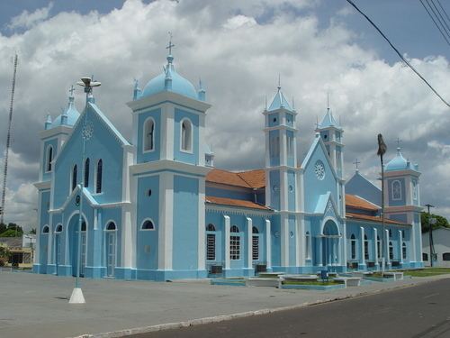
Borba is a municipality in the state of Amazonas in northern Brazil.
Contents
Map of Borba - State of Amazonas, Brazil
Location
Borba is located on the banks of the Madeira River around 150 km (93 mi) south of Manaus. Its population was 34,961 (2010) and its area is 44,251 km². The city is the seat of the Territorial Prelature of Borba.
The municipality contains 46% of the 283,117 hectares (699,600 acres) Rio Madeira Sustainable Development Reserve, created in 2006. It contains about 10% of the 513,747 hectares (1,269,500 acres) Matupiri State Park, created in 2009 along the Matupiri River. It fully contains the 179,083 hectares (442,520 acres) Matupiri Sustainable Development Reserve, created in 2009. It contain 21% of the 397,557 hectares (982,380 acres) Igapó-Açu Sustainable Development Reserve, also created in 2009. Borba also contains about 60% of the 896,411 hectares (2,215,080 acres) Acari National Park created by president Dilma Rousseff in 2016 in the last week before her provisional removal from office.
History
Founded in 1728 as the Jesuit mission Aldea Trocano by Portuguese Padre João Sampaio. In 1755, it became the first vila (Portuguese town) in what was then the new captaincy of Rio Negro, named Borba.
Economy
The economy of Borba depends largely on fishing, agriculture, and extractive activities like rubber extraction and cocoa harvesting.
The city is served by Borba Airport.