
Population 129 (2006 census) County Wynyard Elevation 292 m Local time Tuesday 11:17 AM | Postcode(s) 2650 Postal code 2650 | |
 | ||
Location 418 km (260 mi) from Sydney31 km (19 mi) from Wagga Wagga15 km (9 mi) from Alfred Town14 km (9 mi) from Tarcutta Weather 23°C, Wind NE at 13 km/h, 35% Humidity | ||
Borambola is a rural community in the central east part of the Riverina. It is situated on the Sturt Highway about 16 kilometres east of Alfredtown and 30 kilometres east from Wagga Wagga. At the 2006 census, Borambola had a population of 129 people.
Map of Borambola NSW 2650, Australia
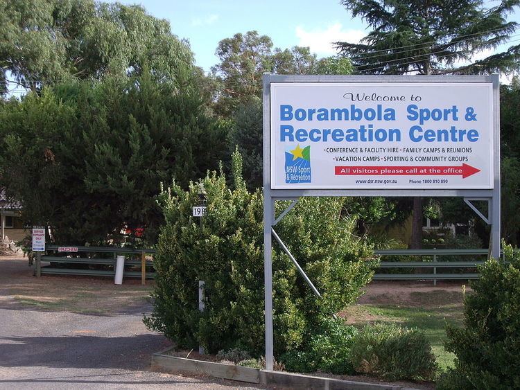
The Borambola area is home to the Borambola Sport and Recreation Centre that caters for conference and facility hire, as well as family, vacation, school camps and reunion camps. Borambola Sport and Recreation Centre is managed by NSW Sport and Recreation.
References
Borambola, New South Wales Wikipedia(Text) CC BY-SA