
Local time Tuesday 3:06 AM | Website www.bor.bel.tr | |
 | ||
Weather 4°C, Wind E at 10 km/h, 66% Humidity | ||
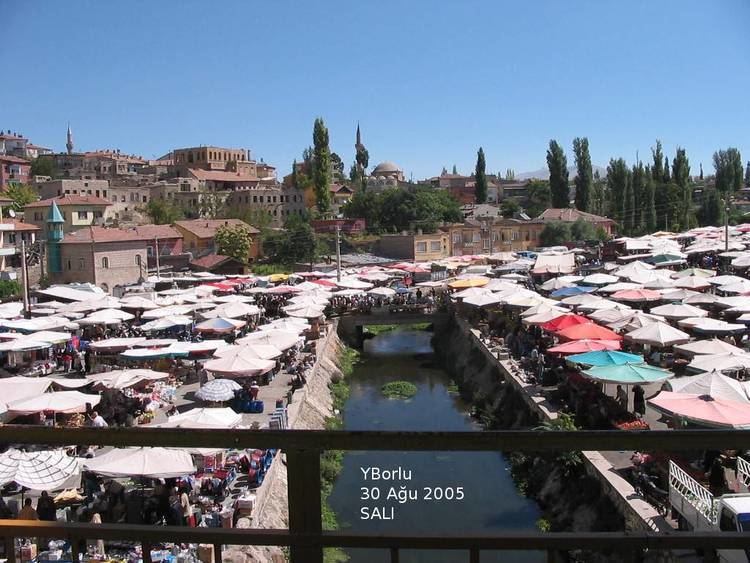
Bor is a town and district of Niğde Province in the Central Anatolia region of Turkey, 14 km (8.7 mi) north of the city of Niğde, on a high plain (altitude 1,100 m (3,600 ft)). The district's population is 59,919 of which 38,320 live in the town of Bor.
Contents
Map of Bor, Ni%C4%9Fde, Turkey
The area is situated just north of the Taurus Mountains, not far from the Cilician Gates (Gülek Boğazı), the mountain pass leading to Cilicia and Syria, and has long been a place of commercial and military importance.
Etymology
The Hittites and Assyrians gave the area the name Tuwanuwa. In the times of Cyrus the Younger and Alexander the Great it was named Dana and then by the Romans, Tyana, (Θυάνα in Ancient greek). The remains of these civilizations can be found in the village of Kemerhisar. Bor is a more modern settlement nearby.
History
The plain has been settled since the time of the Hittites, and subsequently controlled by Assyrians, Phrygians, Persians and Ancient Macedonians. The Romans (and from 395 AD onwards Byzantium) built the ancient city of Tyana the most southern-most centre of Cappadocia. During the Byzantine period the town was the eastern Mediterranean region’s most important Christian centre, as indicated also by its former Turkish name of Kilisehisar (‘City of the Churches’).
Turks began to settle in the area in the wake of the Battle of Manzikert after 1071. In the course of time the fortifications of ancient Tyana vanished among the towns of Bor, Kemerhisar and Bahçeli.
Today the economy of Bor depends on grazing animals, plus some carpet weaving and leather-making. The countryside is too dry for planting crops, although there are vineyards and orchards (mainly apple and apricot) in Kemerhisar. This is a relatively poor district and many people have migrated to Europe or the larger cities of Turkey in search of jobs.