
District Mayen-Koblenz Postal codes 56729 Area 10.38 km² Local time Monday 11:58 PM Dialling code 02656 | Time zone CET/CEST (UTC+1/+2) Dialling codes 02656 Population 624 (31 Dec 2008) Postal code 56729 Municipal assoc. Vordereifel | |
 | ||
Weather 3°C, Wind W at 14 km/h, 88% Humidity | ||
Boos is a municipality in the county of Mayen-Koblenz in Rhineland-Palatinate, western Germany.
Contents
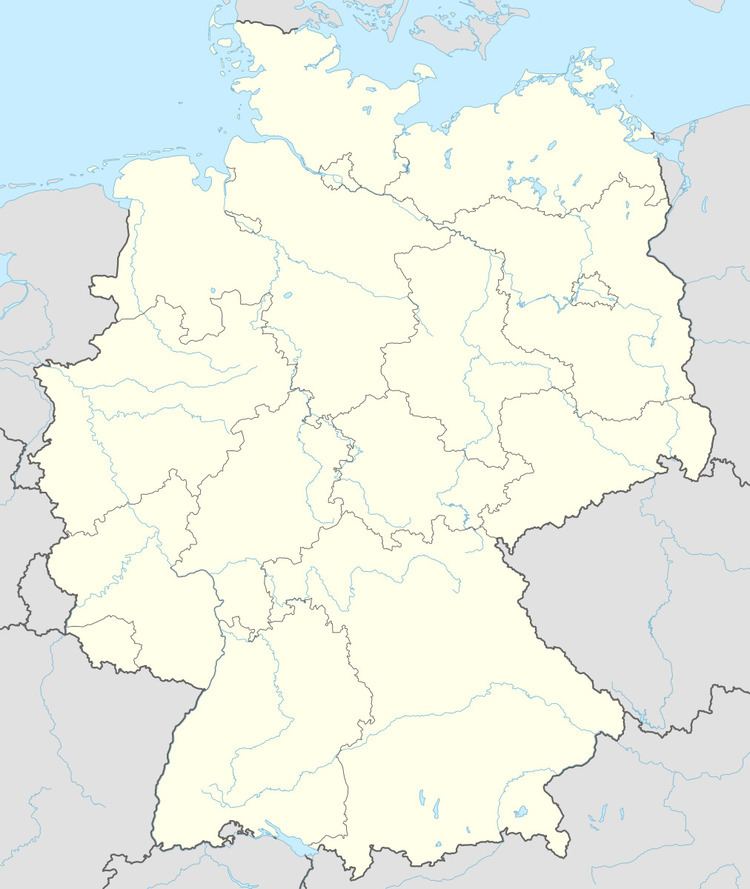
Map of 56729 Boos, Germany
Geography
the parish lies in the East Eifel, a mountain region characterised by volcanic maars and covers an area of 10.38 km², of which 5.02 km² are forest. In 2000, a nature reserve was established, the Booser Maar, with an area of 1.52 km².
Boos is the westernmost municipality of the county of Mayen-Koblenz and lies in the Volcanic Eifel, around five kilometres southeast of the Nürburgring racetrack. Northwest of the village is the Eifel Tower, erected in 2003, on the 557-metre-high hill of Schneeberg with views over the local area including the Booser Doppelmaar, a double maar.
References
Boos, Mayen-Koblenz Wikipedia(Text) CC BY-SA