
County Townsend Local time Tuesday 9:56 AM | ||
 | ||
Location 765 km (475 mi) from Sydney199 km (124 mi) from Griffith47 km (29 mi) from Hay33 km (21 mi) from Wanganella Weather 23°C, Wind E at 23 km/h, 42% Humidity | ||
Booroorban is a locality in the central part of the Riverina. It is in the Edward River Council local government area and on the Cobb Highway between Hay and Deniliquin, around 769 kilometres (478 mi) south west of the state capital, Sydney.
Map of Booroorban NSW 2710, Australia
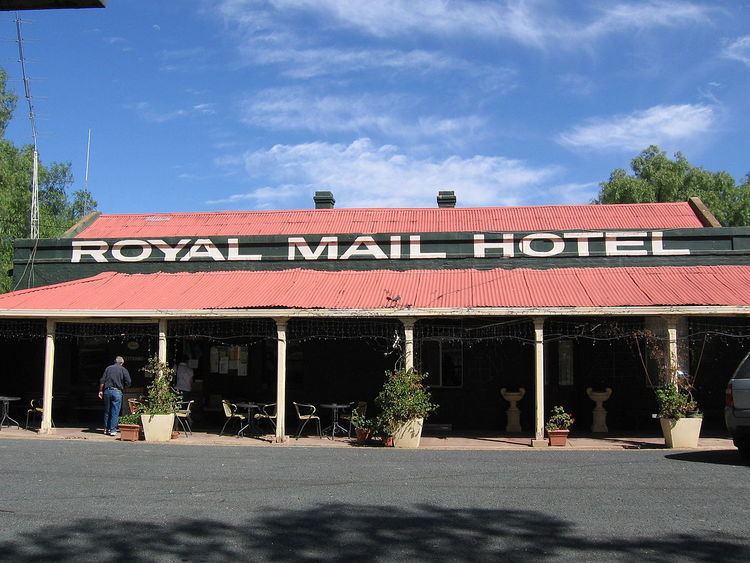
The community sits alongside the Booroorban State Forest. Facilities include a pub—the Royal Mail Hotel—and a public hall.
Booroorban Post Office opened on 16 September 1881 and closed in 1986.
References
Booroorban Wikipedia(Text) CC BY-SA