
Population 1,415 (2011 census) Postcode(s) 2284 Founded 1829 Parish Awaba | Established 1829 Area 120 ha Postal code 2284 Federal division Division of Charlton | |
 | ||
Location 21 km (13 mi) WSW of Newcastle | ||
Booragul is a suburb of the City of Lake Macquarie in New South Wales, Australia, and is located north-northeast of the town of Toronto on the western shore Lake Macquarie.
Contents
Map of Booragul NSW 2284, Australia
Booragul railway station is on the Central Coast & Newcastle Line.
History
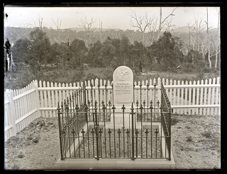
A slaughterhouse was among the early industries of Booragul. Booragul Public School opened in 1955. Booragul High opened in 1958. During World War II Booragul hosted an army camp, which later housed air force personnel.
References
Booragul, New South Wales Wikipedia(Text) CC BY-SA