
Postcode(s) 3235 Postal code 3235 | ||
 | ||
Location 46 km (29 mi) SW of Geelong112 km (70 mi) SW of Melbourne | ||
Boonah is a rural locality in the Surf Coast Shire, Victoria, Australia. In the 2011 census, the population of Boonah was too low to separately report; however in June 2014 the Victorian Electoral Commission recorded 12 enrolled voters in Boonah, living in 11 properties.
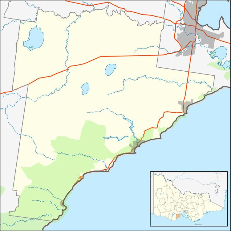
Map of Boonah VIC 3235, Australia
The locality was the base for various sawmilling operations from the 1880s.
The Boonah State School opened on 15 August 1882, servicing families working at the Benwerrin coal mine, the three local sawmills and on local farms. It closed in 1927 due to falling attendance. Boonah Post Office opened on 24 November 1887, became a receiving office on 21 August 1919, became a post office again on 1 July 1927, and closed on 26 September 1929.
Today, most of the locality is protected forest contained in either the Great Otway National Park or the Otway Forest Park; the remainder, located in Boonah's north, is private farmland. The Bambra-Boonah Road, which runs through the latter area, is the only mapped road in the locality.