Local time Monday 8:02 PM | Area 10.6 km² | |
 | ||
Intercommunality Région d'Ardres et de la Vallée de la Hem Weather 8°C, Wind W at 16 km/h, 79% Humidity | ||
Lendecques rando bonningues l s ardres jeudi 24 septembre 2015
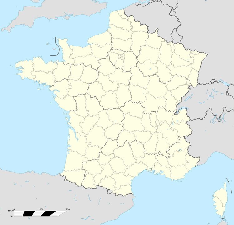
Bonningues-lès-Ardres is a commune in the Pas-de-Calais department in the Hauts-de-France region in northern France.
Contents
- Lendecques rando bonningues l s ardres jeudi 24 septembre 2015
- Map of 62890 Bonningues lC3A8s Ardres France
- Geography
- Sights
- References
Map of 62890 Bonningues-l%C3%A8s-Ardres, France
Geography
A village situated 10 miles (16 km) northwest of Saint-Omer, on theD217 road.
Sights
References
Bonningues-lès-Ardres Wikipedia(Text) CC BY-SA
