
North end: Marcos Road in Tondo | Length 1.6 km | |
 | ||
Component
highways: R-1 R-1
AH26 in Metro Manila South end: Roxas Boulevard and Padre Burgos Avenue in Ermita | ||
Bonifacio drive iloilo city
Bonifacio Drive is a road running for 1.6 kilometers (1 mile) in a north-south direction between Intramuros and Port Area in Manila, Philippines.
Contents
Name
It is named for national hero Andrés Bonifacio (1863-1897), the Supremo of the Katipunan and thus the father of the 1896 Philippine Revolution against the Spanish Empire.
The road was previously called Malecon Drive during the American period. During Spanish rule, it was known simply as Malecón (Spanish for waterfront esplanade) which the road was prior to the reclamation of South Harbor (Port Area) during the late 19th century. It was also known alternatively as Paseo de María Cristina, after the then Queen of Spain Maria Cristina.
Description
It is the northern extension of Roxas Boulevard from Padre Burgos Avenue in Rizal Park to Roxas Bridge (formerly Del Pan Bridge) over the Pasig River. It intersects Andrés Soriano Avenue (formerly Calle Aduana), the main road to Intramuros, via Anda Circle which was named for Spanish Governor-General Simon de Anda y Salazar. North of the river, Bonifacio Drive continues as Marcos Road (Radial Road 10) heading into North Harbor and the district of Tondo.
Establishments
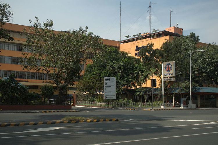
Notable establishments along Bonifacio Drive include the Manila Hotel, the Department of Public Works and Highways building and the national headquarters of the Philippine Red Cross.