PIN 535 260 Local time Monday 9:37 PM | Time zone IST (UTC+5:30) Vehicle registration AP35 | |
 | ||
Weather 27°C, Wind S at 8 km/h, 85% Humidity | ||
Bonda-palli is a village in Vizianagaram district of the Indian state of Andhra Pradesh, India. It is located 3 km away from the town of Gajapathinagaram on the National Highway 43.
Contents
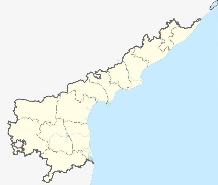
Map of Bondapalli, Andhra Pradesh 535260
Demography
Bondapalli Mandal has a population of 50,473 in 2001. Males constitute 24,950 and females 25,523 of the population. The average literacy rate is 44%, below the national average of 59.5%. The male literacy rate is 56% and that of females 32%.
Bondapalli Mandal covers an area of 143 km2 (55 sq mi) The population density is 353 km2 (136 sq mi). The Scheduled Caste population in 1991 census is 5,558 (11.49%) and that of Scheduled Tribes is 1,195 (2.47%).
References
Bondapalli Wikipedia(Text) CC BY-SA
