Total islands 1 Length 0.25 km (0.155 mi) Elevation 14 m | Major islands Bonarua Hili Hili Width 0.2 km (0.12 mi) Area 5 ha Adjacent body of water Solomon Sea | |
 | ||
Bonarua Hili Hili Island is a small island just north of Logea Island, in China Strait, Milne Bay Province, Papua New Guinea.
Contents
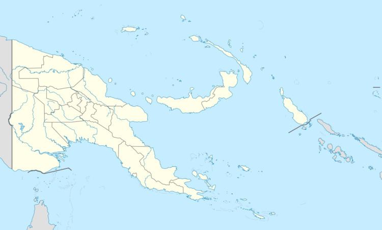
Map of Bonarua Hili Hili, Papua New Guinea
Administration
The island belongs to Logea North Ward, which belongs to Bwanabwana Rural Local Level Government Area LLG, Samarai-Murua District, which are in Milne Bay Province.
Geography
The island is part of the Logea group, itself a part of Samarai Islands of the Louisiade Archipelago.
References
Bonarua Hili Hili Island Wikipedia(Text) CC BY-SA
