
Type Road Major suburbs Orbost, Bonang | Length 161 km (100 mi) | |
 | ||
North end Delegate Road
Delegate, New South Wales South end Princes Highway (A1)
Orbost, Victoria | ||
The road known as the Bonang Highway (also the Old Bonang Highway) is a rural, C class, road in south-eastern Australia, running generally south-north. It links the Gippsland region coastal town of Orbost, Victoria and the highland Monaro region town of Bombala, New South Wales.
Contents
Map of Bonang Rd, Victoria 3888, Australia
Denoted as rural route C612, it passes through the settlements of Nurran, Goongerah, and Bonang in Victoria and the town Delegate in New South Wales in the Snowy Mountains of the Great Dividing Range. The road runs through valleys to the east of the Snowy River, that flows through Orbost. However, the Princes Highway crosses the river at Orbost and the Bonang Highway begins on the river's eastern bank, running parallel to it for only about 500 metres (550 yd).
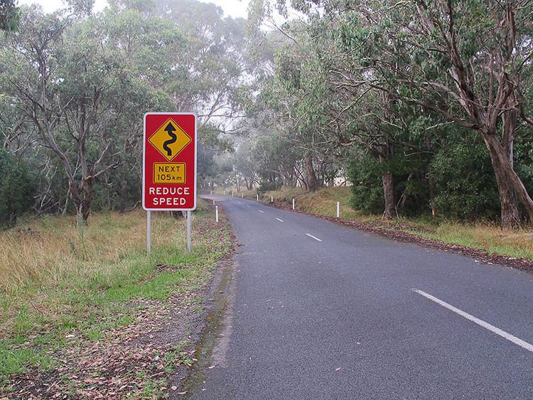
As of January 2015, the surface of the 161 kilometres (100 mi) Bonang Highway is asphalt except for two sections of well-maintained gravel totaling approximately 13 kilometres (8.1 mi). These are an 11 kilometres (6.8 mi) section between 3 and 14 kilometres south of Bonang and a section of 2 kilometres (1.2 mi) in length between the New South Wales-Victoria border and Delegate. Due its patially unsealed surface and its narrow, twisting route, following steep sides of ridges and creeks, the road provides a slower journey (nearly 3 hours, as opposed to 1.75 hours) compared with the equal distance of the Princes Highway (A1 - Orbost to Cann River) and Monaro Highway (B23 - Cann River to Bombala) route. The loop from Orbost to Bombala and returning via the Monaro Highway is well known to motorbike riders as a scenic but difficult ride.
History
The road was established to allow access for people going to the gold mining in the Bendoc area south of Delegate after 1852, and as an access road for logging and other forestry activities in the late nineteenth and early twentieth centuries. It is still primarily used for access to forest plantations in the Victorian State Forest areas adjoining the Snowy River National Park to its west and Errinundra National Park to its east. The road gives access to the Valley of the Giants area where the old-growth forest is a tourist attraction.
Aboriginal lands
The road passes through the land of three Australian Aborigine peoples, the Krauatungalung people in the coastal lowlands and the Bidawal people in the highlands, and the Ngarigo people in the Monaro region.
The Snowy River Bandit
The road cuts through the region frequented by the Snowy River Bandit (also ‘The Butcher’s Ridge Bandit’), perhaps Australia's last "bushranger", who frequented the wild forests of the area in 1940 and robbed people of food and clothing at gunpoint at isolated houses and on the roads. He was finally arrested on 20 December 1940 by Victoria Police constables, after being discovered by timber workers who saw his morning fire. He was discovered to be Alan Torney (1911-?) who had earlier been determined to be insane and was an escapee from a mental hospital at Goulburn, New South Wales. He was readmitted and reportedly spent the rest of his life at the Ararat Asylum.