
Country United States ZIP code 55983 Local time Monday 7:29 AM | Time zone Central (CST) (UTC-6) Elevation 357 m | |
 | ||
Weather 11°C, Wind SE at 27 km/h, 91% Humidity | ||
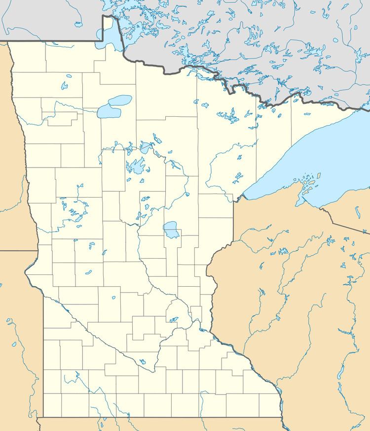
Bombay is an unincorporated community in Goodhue County, Minnesota, United States.
Map of Bombay, MN 55946, USA
The community is located near the junction of State Highway 60 (MN 60) and 70th Avenue.
County 1 Boulevard and County 12 Boulevard are also in the immediate area. Bombay is located within Wanamingo Township and Cherry Grove Township.
ZIP codes 55983 (Wanamingo) and 55946 (Kenyon) meet near Bombay.
References
Bombay, Minnesota Wikipedia(Text) CC BY-SA