
Postcode(s) 3432 Postal code 3432 | Elevation 385 m Local time Monday 8:27 PM | |
 | ||
Weather 19°C, Wind S at 23 km/h, 58% Humidity | ||
Bolinda /bəˈlɪndə/ is a small town and locality north of Melbourne, Australia on the Melbourne-Lancefield Road. It is 6 km. south of Romsey, within the Shire of Macedon Ranges.
Map of Bolinda VIC 3432, Australia
John Brock, one of the first British settlers in the Bolinda district, named his station Bullando Vale. However, it is not clear whether this is connected in any way to the present name.
Bolinda Post Office opened on 12 June 1879 and closed in 1980.
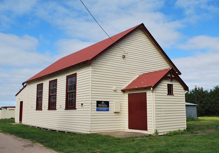
The community today is centred on the primary school (established 1870), community hall and recreation reserve.
Bolinda was an intermediate stopping point on the Clarkefield-Lancefield railway which operated between 1881 and 1956.
References
Bolinda, Victoria Wikipedia(Text) CC BY-SA