
Population 433 (2011 census) Elevation 308 m Local time Tuesday 2:36 AM | Postcode(s) 3430 State electorate(s) MacedonSunbury Postal code 3430 | |
 | ||
Weather 13°C, Wind S at 18 km/h, 90% Humidity | ||
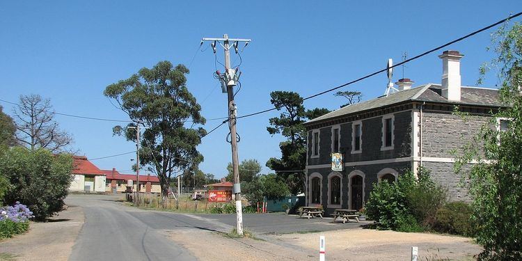
Clarkefield (/ˈklɑːrkfiːld/, locally [ˈklaːkfiːld]) is a town in Victoria, Australia, 46 kilometres (29 mi) northwest of Melbourne's central business district. Its local government area is the City of Hume and Shire of Macedon Ranges. At the 2011 Census, Clarkefield had a population of 433.
Map of Clarkefield VIC 3430, Australia
The Post Office opened on 1 January 1862 and was known as Lancefield Road until 1881, Lancefield Junction until 1926 and closed in 1982.
References
Clarkefield, Victoria Wikipedia(Text) CC BY-SA