
Elevation 428 m Local time Monday 8:06 AM | Area 17.81 km² | |
 | ||
Weather 4°C, Wind SW at 11 km/h, 77% Humidity | ||
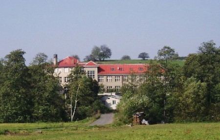
Bojanov is a Market town in the Pardubice Region of the Czech Republic. It is situated in the picturesque area of Železné hory on the river Chrudimka.
Contents
Map of Bojanov, Czechia
On July 28, 2006 Bojanov had 647 inhabitants.
Hamlets Holín, Horní Bezděkov, Hořelec, Hrbokov, Hůrka, Kovářov and Petrkov are administrative parts of Bojanov.
History
Bojanov is one of the oldest settlements in the Železné hory area. In 1126 it belonged to a monastery in Vilemov. From 1329 it became a part of Jindrich z Lichtemberka estates. In the 15th century Bojanov belonged to the castle Oheb. One century later, in 1564, it is said to have an emblem with silver sword on the red background meaning that it got a status of a city. This corresponds with the shape of its center looking more like a square with a church in the center.
In the past Bojanov was a significant centre of church power. The original 14th-century church building was in 1730 rebuilt to baroque style. The St. Vitus church is a part of a listed area including a bell tower and a gate.
In the first half of the 19th century Bojanov had about 400 residents mostly working as farmers, weavers or sewers.
Administrative parts
Hamlets Holín, Horní Bezděkov, Hořelec, Hrbokov, Hůrka, Kovářov and Petrkov are administrative parts of Bojanov.
Architecture
St. Vitus Church in Bojanov
St. Wenceslas Church in Hrbokov
renaissance sculpture in Holin.
Leisure activities
Area is suitable for hiking and cycling. It is near a dam Sec, where windsurfing is possible.