GNIS feature ID 1510831 Local time Sunday 10:41 PM | Time zone Pacific (PST) (UTC-8) Elevation 87 m Area code 360 | |
 | ||
Weather 2°C, Wind S at 10 km/h, 100% Humidity | ||
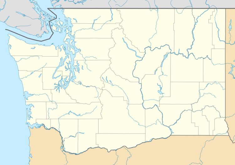
Boistfort is an unincorporated community in Lewis County, Washington, United States. It lies 19 miles away from Chehalis and has one of the tallest peaks that is not a mountain in the entire state of Washington, Boistfort Peak (also called Baw Faw Peak). It has a K-8 school, a library and a tennis court. The original one-room school was established as the first school district in the Territory of Washington.
Map of Boistfort, WA 98538, USA
A post office called Boisfort was established in 1857, the name was changed to Boistfort in 1907, and the post office closed in 1918. The community took its name from nearby Boisfort Prairie.
References
Boistfort, Washington Wikipedia(Text) CC BY-SA
