Puneet Varma (Editor)

Boisar

Updated on
Edit
Like
Comment
Share on FacebookTweet on TwitterShare on LinkedInShare on Reddit
Country
  
India

District
  
Palghar

PIN
  
401501/02/03/04/05/06

Area
  
8.9 km²

Population
  
36,151 (2011)

Local time
  
Monday 11:50 AM

State
  
Maharashtra

Time zone
  
IST (UTC+5:30)

Telephone code
  
02525

Elevation
  
10 m

Area code
  
02525

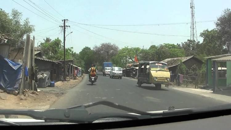
Boisar httpsiytimgcomviIA0u6GV5dAmaxresdefaultjpg

Weather
  
32°C, Wind W at 8 km/h, 32% Humidity

Neighborhoods
  
Holipada, Pratapgarh, Datta Wadi, Cidco Colony

Boisar is an industrial area in Palghar District in the Indian state of Maharashtra. It is located 42 kilometres (26 mi) north of Virar, on the Western Railway line of Mumbai Suburban Division Mumbai Suburban Railway.

Contents

Map of Boisar, Maharashtra

  • 16333/34 Trivendrum Veraval Exp
  • 16335/36 Gandhidham Nagarcoil Exp
  • 16337/38 Okha Ernakulam Exp
  • 16311/12 Bikaner Kochuveli Exp
  • 122917/18 Haridwar Super Fast Exp
  • 19419/20 Chennai Ahmedabad Exp
  • 19021/22 Lucknow Exp
  • 19331/32 Indore Kochuveli Exp
  • |}

    Nearby towns

  • Chinchani
  • Dahanu Road, Second rail stop north-bound
  • Katkar, Adjacent north
  • Palghar, Second rail stop south-bound
  • Saravali, Adjacent south
  • Tarapur
  • Umroli, Next rail stop south-bound
  • Vangaon, Next rail stop north-bound
  • Maan, East Indians (Catholic) Community
  • References

    Boisar Wikipedia