
 | ||
Bohot Nunatak (Bulgarian: Бохотски нунатак, ‘Bohotski Nunatak’ \'bo-hot-ski 'nu-na-tak) is the rocky hill of elevation 1120 m projecting from the ice cap in the northeastern periphery of Sentinel Range in Ellsworth Mountains, Antarctica. It is named after the settlement of Bohot in Northern Bulgaria.
Contents
Location
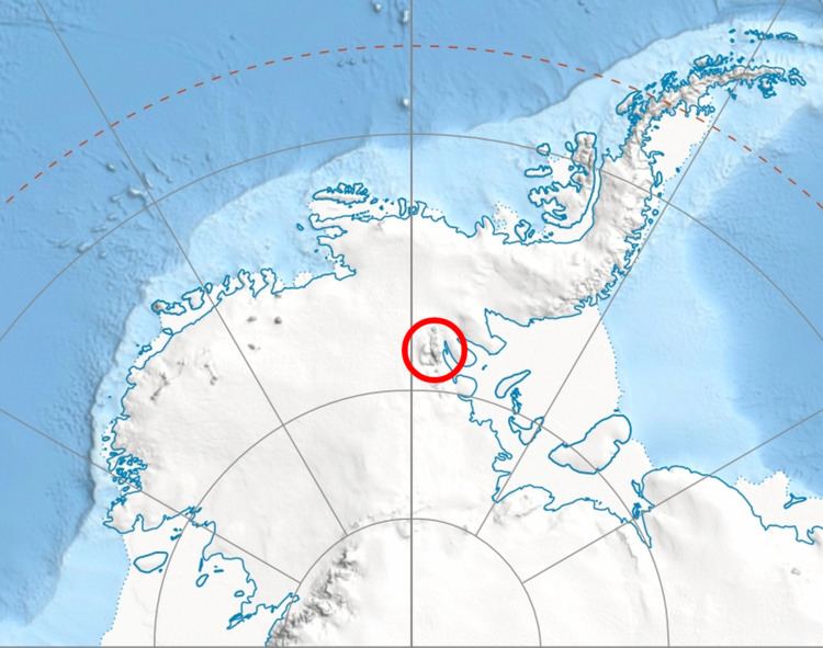
Bohot Nunatak is located at 77°23′37″S 85°34′32″W, which is 13.7 km northeast of Mount Weems, 10.93 km east of Pastrogor Peak, 15.96 km southeast of Lanz Peak and 5.27 km north-northwest of Ostrusha Nunatak. US mapping in 1961.
Maps
References
Bohot Nunatak Wikipedia(Text) CC BY-SA