
OS grid reference SW8632 Local time Monday 5:28 AM | Sovereign state United Kingdom Postcode district TR2 | |
 | ||
Weather 6°C, Wind SE at 16 km/h, 96% Humidity | ||
Bohortha is a coastal village in south Cornwall, England, United Kingdom. It is situated on the east side of the Roseland Peninsula two miles south of Portscatho. According to the Post Office the population at the 2011 Census was included in the civil parish of Gerrans.
Contents
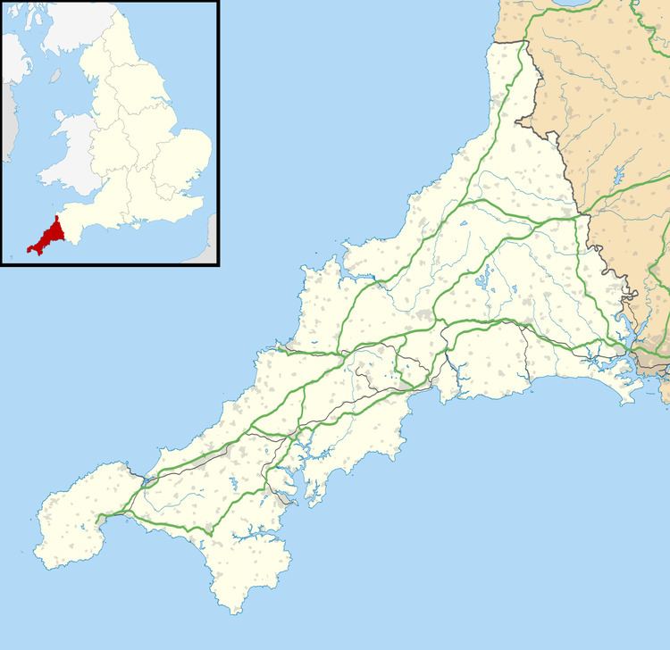
Map of Bohortha, Truro, UK
Bohortha lies within the Cornwall Area of Outstanding Natural Beauty (AONB). Almost a third of Cornwall has AONB designation, with the same status and protection as a National Park.
History
It was formerly known as "St. Anthony" village but has become known as Bohortha after one of the farmsteads that existed there up until the 1970s, the others being Manor Farm and Bohurrow Farm, both of which, as Bohortha, are represented by farmhouses within the village. All 3 plus Porth Farm near Towan Beach and Place Barton above the nearby Place Manor are now combined and farmed as one.
There once existed an alehouse or hotel named "The Pig & Whistle" some centuries ago. "The Old School House" down the road was the primary school for the children in & around St. Anthony's Head up until the first few decades of the 20th century.