
Peak Musheramore Elevation 644 m | Highest point Mushera | |
 | ||
Mountains Mushera, Mount Hillary Similar Mushera, Seefin, Arderin, Mullaghareirk Mountains, Slieve Miskish Mountains | ||
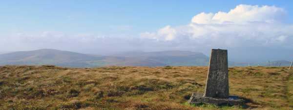
The Boggeragh Mountains (Irish: An Bhograch) are located in County Cork, Ireland, with the Munster Blackwater to the north and the River Lee to the south of the hills. With an elevation of 644 m (2,113 ft), the highest peak is Musheramore (Irish: Muisire Mór). The landscape consists of peat blanket bog, grassland, streams and areas of forestry. The mountains were formed from red sandstone deposited during the Devonian Era. They were shaped by glacial erosion during the last glacial period.
Map of Boggeragh Mountains, Carrigagulla, Co. Cork, Ireland
Construction of a wind farm in the area started in September 2009. In February 2010 19 units of Vestas V90-3MW MW wind turbines are up and running.
References
Boggeragh Mountains Wikipedia(Text) CC BY-SA