
Country Republic of Ireland Elevation 408 m | Provinces of Ireland Munster | |
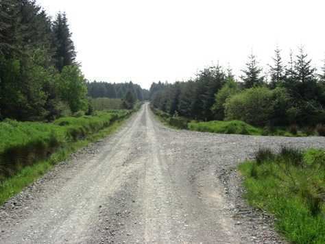 | ||
The Mullaghareirk Mountains (from Irish: Mullach an Radhairc, meaning "The summit of the view") is a range of mountains in Ireland that stretches from the borders of County Kerry County Limerick to Newmarket, County Cork. The villages of Mountcollins, Tournafulla, Templeglantine, Killeedy, Brosna and Rockchapel are set in the mountains.
Map of Mullaghareirk Mountains, Tooreenmacauliffe, Co. Cork, Ireland
The mountains peak at 408 metres (1,339 ft). The Allaughaun River, a tributary of the River Feale, rises at the east end of the range.
References
Mullaghareirk Mountains Wikipedia(Text) CC BY-SA