
 | ||
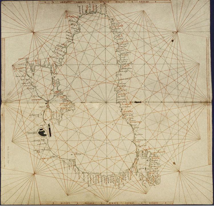
The Bodleian-Douce Atlas is an early 15th-century nautical atlas by an anonymous Italian cartographer, currently held (MS Douce 390) by the Bodleian Library in Oxford, UK.
The atlas was made by an anonymous Italian cartographer in the early 15th century. No attribution to known cartographers or place of origin. Venice and Genoa have been suggested. The Bodleian-Douce Atlas is currently held (Ms. Douce 390) by the Bodleian Library at the University of Oxford in Oxford, UK.
The Bodleian-Douce atlas is composed of six portolan charts, with each chart covering two folios:
References
Bodleian-Douce Atlas Wikipedia(Text) CC BY-SA