
Website Official Map of Boda | Time zone BST (UTC+6) Area 349.5 km² | |
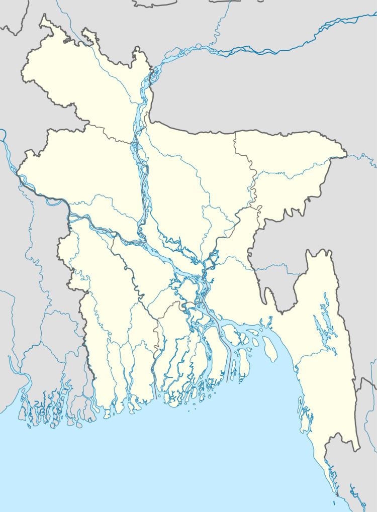 | ||
Boda (Bengali: বোদা) is an Upazila of Panchagarh District in the Division of Rangpur, Bangladesh.
Contents
Map of Boda Upazila, Bangladesh
Geography
Boda is located at 26.2083°N 88.5597°E / 26.2083; 88.5597 . It has 33535 households and total area 349.47 km².
Demographics
As of the 1991 Bangladesh census, Boda has a population of 168258. Males constitute 51.22% of the population, and females 48.78%. This Upazila's eighteen up population is 83118. Boda has an average literacy rate of 29.4% (7+ years), and the national average of 32.4% literate.
Administration
Boda has 10 Unions/Wards, 182 Mauzas/Mahallas, and 235 villages.
References
Boda Upazila Wikipedia(Text) CC BY-SA