
Area 224.8 km² | Time zone BST (UTC+6) | |
 | ||
Website Official Map of Bochaganj | ||
Bochaganj (Bengali: বোচাগঞ্জ) is an Upazila of Dinajpur District in the Division of Rangpur, Bangladesh.
Contents
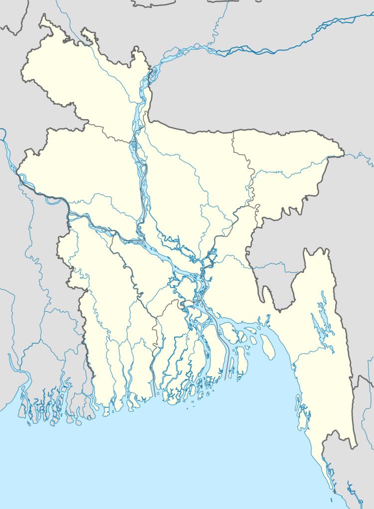
Map of Bochaganj, Bangladesh
Geography
Bochaganj is located at 25.8000°N 88.4611°E / 25.8000; 88.4611 . It has 23972 households and total area 224.81 km².
Demographics
As of the 1991 Bangladesh census, Bochaganj has a population of 135376. Males constitute 51.7% of the population, and females 48.3%. This Upazila's eighteen up population is 64312. Bochaganj has an average literacy rate of 30.2% (7+ years), and the national average of 32.4% literate.
Administration
Bochaganj has 6 unions/wards, 144 mauzas/mahallas, and 146 villages.
References
Bochaganj Upazila Wikipedia(Text) CC BY-SA