
Population 588 (2011) Sovereign state United Kingdom Local time Sunday 8:37 PM Number of airports 1 | OS grid reference SO809905 Dialling code 01384 | |
 | ||
Weather 4°C, Wind NW at 24 km/h, 94% Humidity | ||
Bobbington is a village and civil parish in the South Staffordshire district of Staffordshire, England, about 5 miles (8.0 km) west of Wombourne. According to the 2001 census it had a population of 506, increasing to 588 at the 2011 Census.
Contents
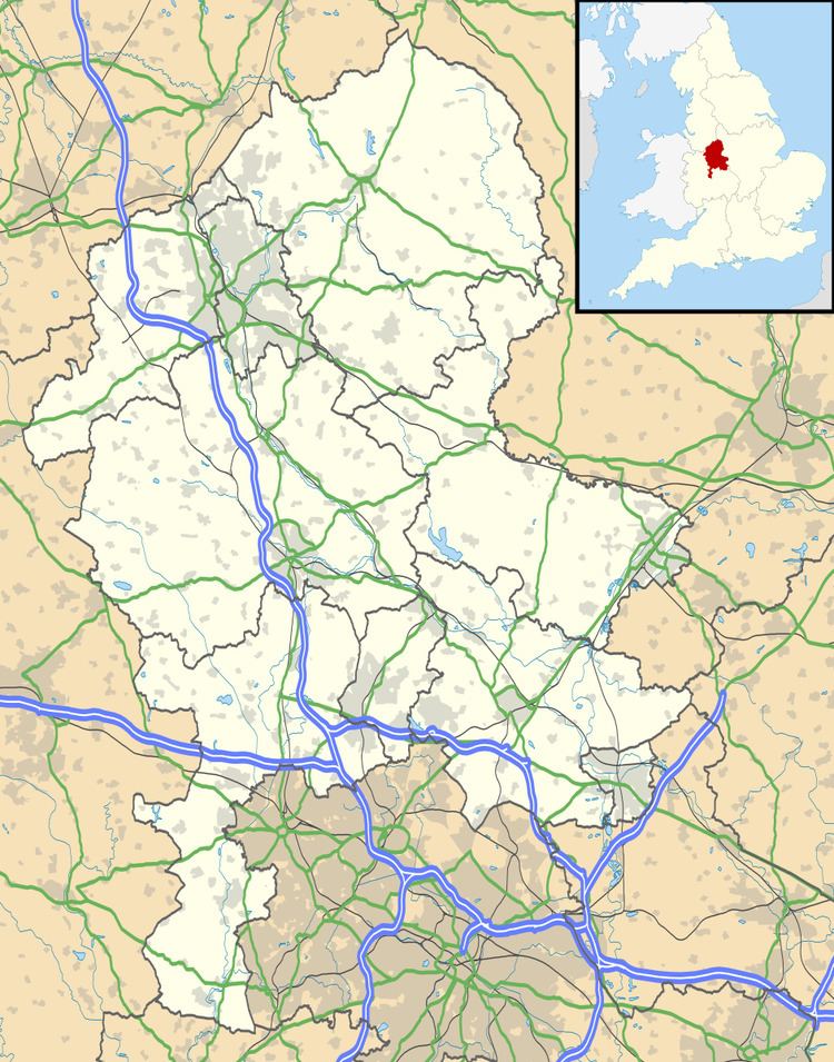
Map of Bobbington, Stourbridge, UK
Bobbington is just on the county border with Shropshire (to the west), and is about 8 miles (13 km) east of Bridgnorth in Shropshire. It is only about 5 miles (8.0 km) west of the border with West Midlands, and during World War II was home to Bobbington airfield, renamed during the war as Halfpenny Green, and now known as Wolverhampton Halfpenny Green Airport.
In recent years Bobbington has seen favour in the commuter culture being roughly equidistant from many of the regions business centres Wolverhampton (9.5 miles (15.3 km)) Dudley (9.4 miles (15.1 km)), Stourbridge (10.5 miles (16.9 km)) and Bridgnorth (8.6 miles (13.8 km)).