
Country Thailand Time zone THA (UTC+7) Geocode 7103 Province Kanchanaburi Province | Seat Bo Phloi Postal code 71160 Area 967.2 km² | |
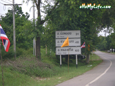 | ||
Bo Phloi (Thai: บ่อพลอย) is a district (Amphoe) of Kanchanaburi Province, central Thailand.
Contents
Map of Bo Phloi District, Kanchanaburi, Thailand
History
The minor district (king amphoe) Bo Phloi was created by splitting some part of Mueang Kanchanaburi district. It was upgraded to a full district on July 16, 1963.
Geography
Neighboring districts are (from the south clockwise) Tha Muang, Mueang Kanchanaburi, Si Sawat, Nong Prue, Lao Khwan, Huai Krachao, and Phanom Thuan of Kanchanaburi Province.
Administration
The district is subdivided into 6 subdistricts (tambon), which are further subdivided into 77 villages (muban). There are two townships (thesaban tambon) within the district - Nong Ri covers parts of the tambon Nong Ri, and Bo Phloi covers parts of the tambon Bo Phloi and Chong Dan. There are further 6 Tambon administrative organizations.
Missing numbers are tambon which now form the district Nong Prue.