
Country Thailand Postal code 55000 Area 848.3 km² Province Nan Province | Time zone THA (UTC+7) Geocode 5512 Population 14,326 (2009) | |
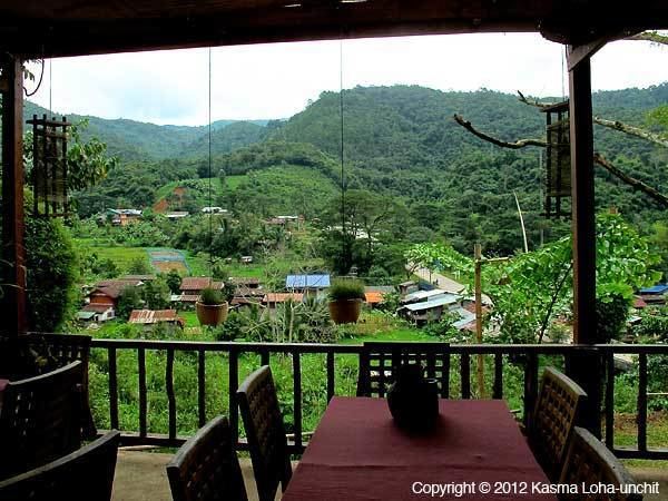 | ||
Bo Kluea (Thai: บ่อเกลือ, [bɔ̀ː klɯ̄a̯]) is a district (Amphoe) in the eastern part of Nan Province, northern Thailand.
Contents
Map of Bo Kluea District, Nan, Thailand
History
The minor district (King Amphoe) Bo Kluea was established on 5 February 1988 by splitting the two tambon Bo Kluea Nuea and Bo Kluea Tai from Pua district. It was upgraded to a full district on 7 September 1995.
Geography
Neighboring districts are from the south clockwise Mae Charim, Santi Suk, Pua and Chaloem Phra Kiat of Nan Province. To the east is Xaignabouli of Laos. The district is located in the Luang Prabang Range mountain area of the Thai highlands.
Administration
The district is subdivided into 4 subdistricts (tambon), which are further subdivided into 39 villages (muban). There are no municipal (thesaban) areas, and 4 Tambon administrative organizations (TAO).
The missing number 3 belongs to tambon Khun Nan which is now part of Chaloem Phra Kiat district.