District Northern Population (2015) 1,040 | Council Golan Founded 1972 | |
 | ||
Weather 13°C, Wind N at 6 km/h, 59% Humidity | ||
Bnei Yehuda (Hebrew: בְּנֵי יְהוּדָה) is an Israeli settlement and moshav located in the southern Golan Heights, under the administration of Israel. The moshav was built in 1972 and falls under the municipal jurisdiction of the Golan Regional Council. The international community considers Israeli settlements in the Golan Heights illegal under international law, but the Israeli government disputes this. In 2015 its population was 1,040.
Contents
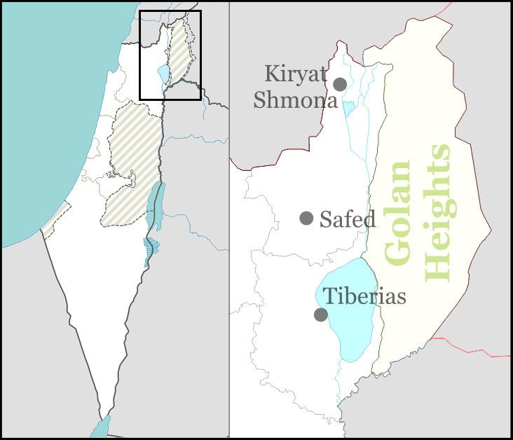
Map of Bnei Yehuda
Ottoman era
In the winter of 1885, members of the Old Yishuv in Safed formed the Beit Yehuda Society and purchased 15,000 dunams of land from the village of Ramthaniye in the central Golan. Due to financial hardships and difficulty in securing a kushan (Ottoman land deed) the site was abandoned a year later. Soon afterwards, the society regrouped and purchased 2,000 dunams of land from the village of Bir e-Shagum on the western slopes of the Golan.
In 1890, six houses were built with the help of Hovevei Zion from London. In 1906, the population was 33, and land area was 3,500 dunams (3.5 km2). A Hashomer scheme to settle more farmers there in 1913 was not successful. The Jews fled in the wake of the 1920 Nebi Musa riots. The last to depart was the Bernstein family, who left on 25 April 1920 after Arabs attacked the village and killed two family members.
Modern village
Modern Bnei Yehuda was founded in 1972 east of the former site by workers of the Negev Nuclear Research Center and Israel Aircraft Industries, following an appeal by the Jewish Agency.
