
- elevation 194 m (636 ft) Basin area 9,219 km² | - elevation 0 m (0 ft) | |
 | ||
- left Shadforth Creek, Saddlers Creek, Immibar Creek, Cadell River - right Guyuyu Creek, Rangaburu Creek - average 58.9 m/s (2,080 cu ft/s) | ||
The Blyth River is a river in the Northern Territory, Australia.
Contents
Course and features
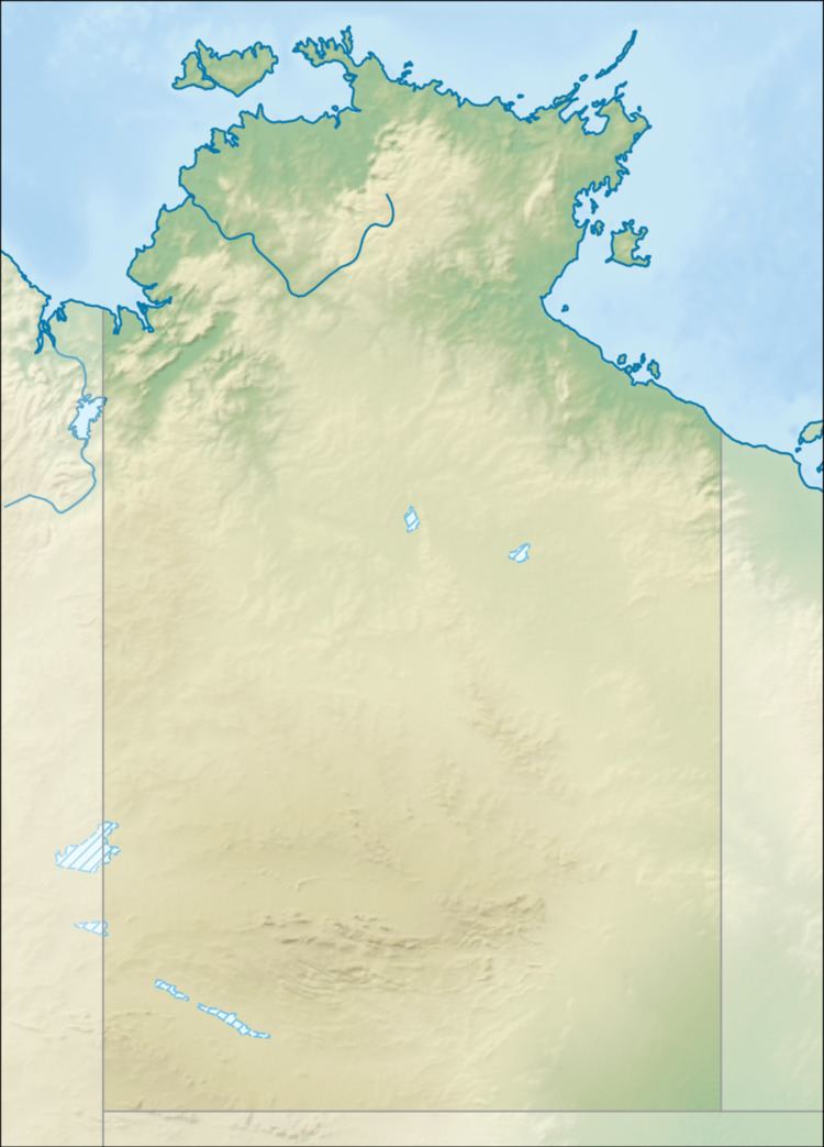
The headwaters rise east of Shadforth Hills and flows in a northerly direction through mostly uninhabited country, past the small community of Gamardi before discharging into Boucaut Bay.
The catchment occupies an area of 9,219 square kilometres (3,559 sq mi) and is situated between the Liverpool River catchment to the west, the Goyder River catchment to the east and the Roper River catchment to the south. It has a mean annual outflow of 1,860 gigalitres (2.433×10⁹ cu yd),
The Cadell and Blyth Floodplains are located at the lower reaches of the river and occupy an area of 432 square kilometres (167 sq mi).
The estuary formed at the river mouth is tidal in nature and in near pristine condition.
History
The river was named by Francis Cadell in 1867 after the Premier of South Australia, Arthur Blyth.
David Lindsay charted the river in 1883 during his expedition of Arnhem Land.
Fauna
Many species of fish are found in the river including Sailfin Glassfish, Macleay's Glassfish, Barred Grunter, Fly-specked Hardyhead and Pennyfish, Goby, Flathead Goby, Empire Gudgeon, Giant Gudgeon, Empire Gudgeon, Threadfin Rainbowfish, Barramundi, Diamond Mullet, Rainbowfish, Western Rainbowfish, Black-banded Rainbowfish, Chequered Rainbowfish, Bony Bream, Black Catfish, Rendahl's Catfish, Seven-spot Archerfish.