
- elevation 161 m (528 ft) Basin area 8,280 km² | - elevation 0 m (0 ft) | |
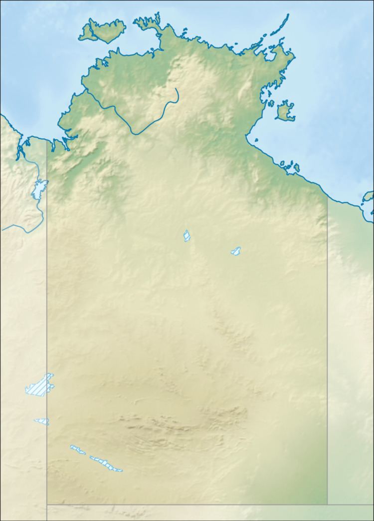 | ||
- location Spencer Range, Arnhem Land, Australia | ||
Liverpool River is a river in the Northern Territory of Australia.
The river rises at the eastern end of the Spencer Range and flows in a north easterly direction and eventually discharging into the Arafura Sea south of Bat Island and to the south west of the Aboriginal Community of Maningrida.
The estuary formed at the river mouth is tidal in nature and in near pristine condition. The estuary at the river mouth occupies an area of 33.8 square kilometres (13 sq mi) of open water. It is tide dominated in nature with a tide dominated delta having single channel and is surrounded by an area of 60.8 square kilometres (23 sq mi) covered with mangroves.
The river has a catchment area of 8,280 square kilometres (3,197 sq mi) The ctchment is wedged between the Goomadeer River catchment to the west, the Blyth River catchment to the east and the Roper River catchment to the south. It has a mean annual outflow of 3,810 gigalitres (4.983×10⁹ cu yd),
The river was named by Philip Parker King in 1818. King named the river after the Secretary to the Treasury, Lord Liverpool.