
Country United States Time zone CST (UTC-6) Area 118 km² Population 556 (2010) | Established November 4, 1884 Elevation 135 m Local time Sunday 10:08 AM | |
 | ||
ZIP codes 62016, 62027, 62050, 62092 Weather 14°C, Wind S at 24 km/h, 43% Humidity | ||
Bluffdale Township is one of thirteen townships in Greene County, Illinois, USA. As of the 2010 census, its population was 556 and it contained 273 housing units.
Contents
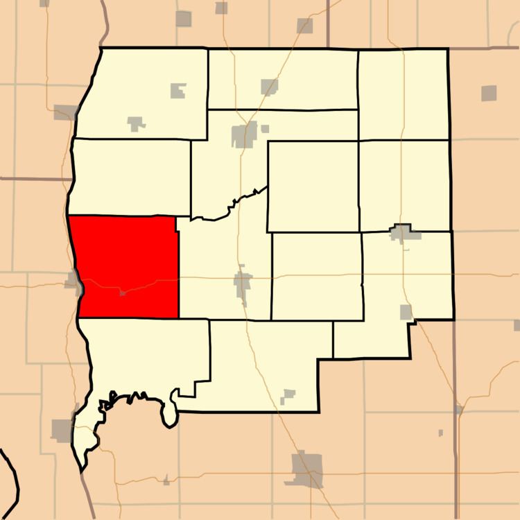
- Map of Bluffdale Township IL USA
- Geography
- Cities towns villages
- Unincorporated towns
- Extinct towns
- Cemeteries
- Major highways
- Airports and landing strips
- Rivers
- School districts
- Political districts
- References
Map of Bluffdale Township, IL, USA
Geography
According to the 2010 census, the township has a total area of 45.58 square miles (118.1 km2), of which 44.77 square miles (116.0 km2) (or 98.22%) is land and 0.81 square miles (2.1 km2) (or 1.78%) is water.
Cities, towns, villages
Unincorporated towns
(This list is based on USGS data and may include former settlements.)
Extinct towns
(These towns are listed as "historical" by the USGS.)
Cemeteries
The township contains these four cemeteries: Eldred, Eldred Memorial Gardens, Mulberry and Richwoods West.
Major highways
Airports and landing strips
Rivers
School districts
Political districts
References
Bluffdale Township, Greene County, Illinois Wikipedia(Text) CC BY-SA