
Location Bay of Bengal Adjacent bodies of water Indian Ocean Major islands Bluff Elevation 30 m Postal code 744202 Island group Andaman Islands | Archipelago Andaman Islands Total islands 1 Length 0.8 km (0.5 mi) Area 21 ha Area code 031927 Adjacent body of water Indian Ocean | |
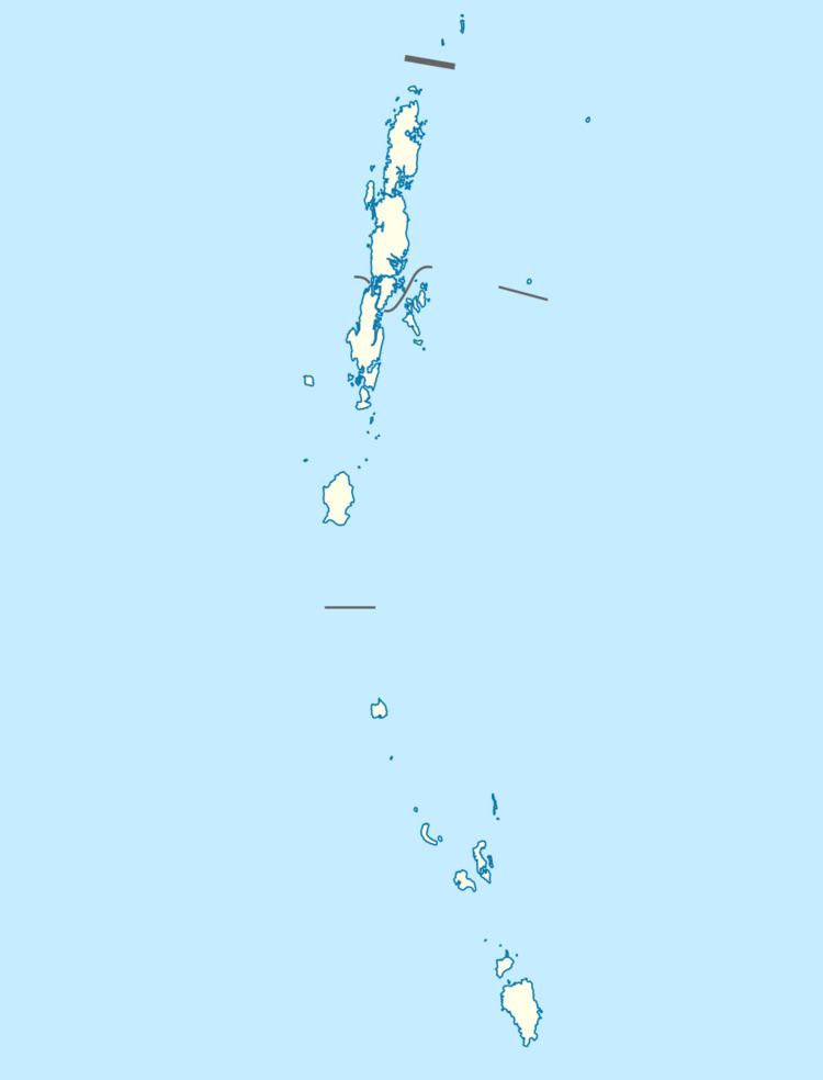 | ||
Bluff Island is an island of the Andaman Islands. It belongs to the North and Middle Andaman administrative district, part of the Indian union territory of Andaman and Nicobar Islands. the island is lying 64 km (40 mi) north from Port Blair.
Contents
- Map of Bluff Island Andaman and Nicobar Islands
- Geography
- Administration
- Transportation
- Demographics
- Fauna
- References
Map of Bluff Island, Andaman and Nicobar Islands
Geography
The island belongs to the West Baratang Group and lies south of Spike Island. The island is separated from South Andaman to the south by narrow channel, 500 m wide.
Administration
Politically, Bluff Island, along neighboring Baratang Islands, is part of Rangat Taluk.
Transportation
you can travel by Dinghy through Port Anson from Mayabuner, on demand.
Demographics
The island was previously inhabited. In 1949, the few surviving Great Andamanese people were relocated to this island to protect them from diseases and other threats. On this island their population reached the all-time low of 19 individuals in 1961. In 1969 they were relocated to the slightly larger Strait Island.
Fauna
Bluff island and the surrounding waters are a wildlife sanctuary of India, initiated in 1987 as a nature preserve. with an area of km2.