
Country United States Time zone CST (UTC-6) Local time Sunday 5:30 AM | Settlement November 8, 1859 Area 84.51 km² Population 890 (2010) | |
 | ||
Weather 6°C, Wind SE at 18 km/h, 63% Humidity | ||
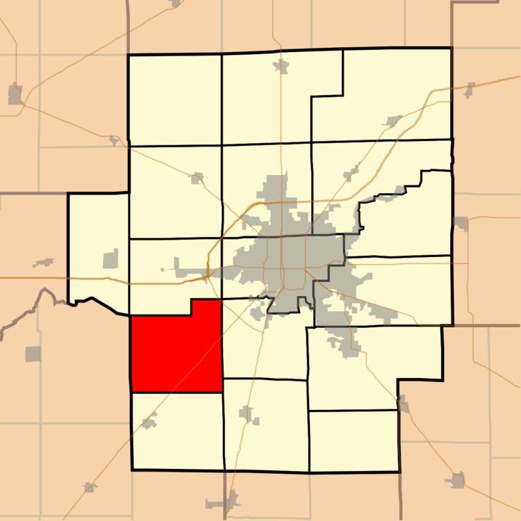
Blue Mound Township is located in Macon County, Illinois. As of the 2010 census, its population was 890 and it contained 387 housing units.
Contents
Map of Blue Mound Township, IL, USA
Cities and towns
Adjacent townships
Geography
According to the 2010 census, the township has a total area of 32.63 square miles (84.5 km2), of which 32.59 square miles (84.4 km2) (or 99.88%) is land and 0.04 square miles (0.10 km2) (or 0.12%) is water.
References
Blue Mound Township, Macon County, Illinois Wikipedia(Text) CC BY-SA