
Time zone CST (UTC-6) Elevation 181 m Local time Sunday 6:35 AM | Established November 7, 1865 ZIP codes 62513, 62547 Area 120.8 km² Population 390 (2010) | |
 | ||
Weather -2°C, Wind SW at 2 km/h, 91% Humidity | ||
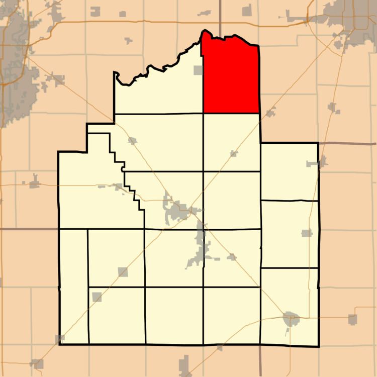
Mosquito Township is one of seventeen townships in Christian County, Illinois, USA. As of the 2010 census, its population was 390 and it contained 162 housing units.
Contents
- Map of Mosquito Township IL USA
- Geography
- Unincorporated towns
- Cemeteries
- Airports and landing strips
- School districts
- Political districts
- References
Map of Mosquito Township, IL, USA
Geography
According to the 2010 census, the township has a total area of 46.66 square miles (120.8 km2), all land.
Unincorporated towns
Cemeteries
The township contains these four cemeteries: Berea Christian, Darmer, Hunter and Stafford.
Airports and landing strips
School districts
Political districts
References
Mosquito Township, Christian County, Illinois Wikipedia(Text) CC BY-SA