
- right Black Creek - elevation 275 m (902 ft) - elevation 176 m (577 ft) Basin area 74.5 km² Mouth Lake Huron | - location Central Manitoulin - location Tehkummah Length 14 km Basin area 74.5 km² Province Ontario | |
 | ||
Blue jay creek art farm
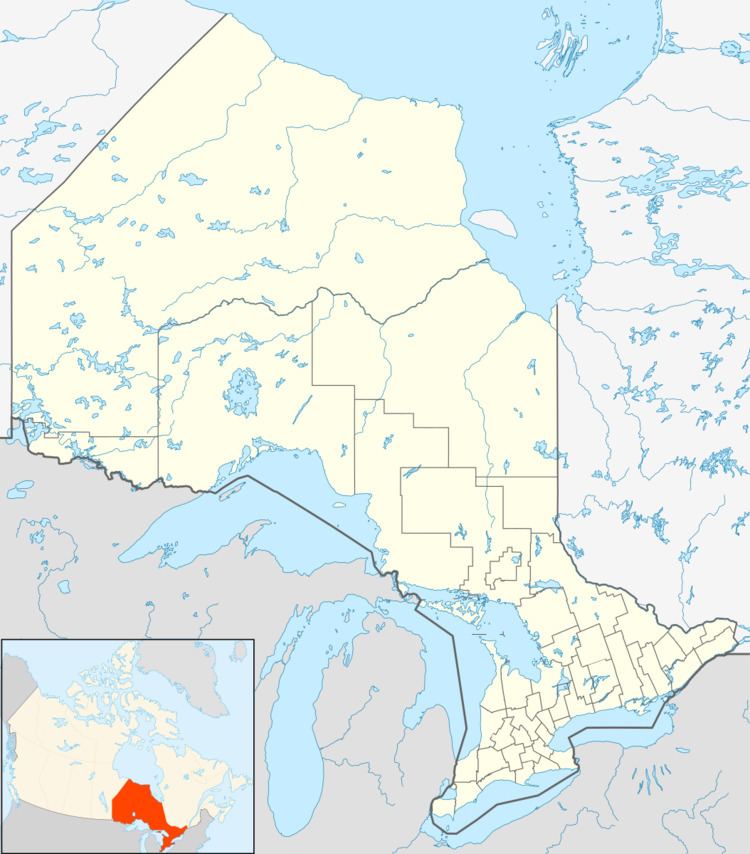
Blue Jay Creek is a river on Manitoulin Island in Central Manitoulin and Tehkummah townships, Manitoulin District in northeastern Ontario, Canada and a tributary of Lake Huron.
Contents
CourseEdit
Blue Jay Creek begins at a spring, about 3.4 kilometres (2.1 mi) east of the community of Sandfield on Lake Manitou in Central Manitoulin township, and at an elevation of 275 metres (902 ft). It flows south under Ontario Highway 542 and then to the east of the community of Tehkummah in Tehkummah township. The creek heads southwest, takes in the right tributary Black Creek and reaches its mouth at Michael's Bay on Lake Huron, near the community of Michael's Bay, and about 1.2 kilometres (0.7 mi) southeast of the mouth of the Manitou River and 7 kilometres (4 mi) northwest of the community of South Baymouth.
EcologyEdit
The Blue Jay Creek and Manitou River Enhancement Strategy was completed in June 2001 and approved in December 2003 by the Manitoulin Streams Improvement Association. The organization has rehabilitated sites on the creek, which has improved water quality and the fisheries in the region.
ParksEdit
Blue Jay Creek Provincial Park incorporates a portion of the creek near its mouth.