
Country United States ZIP code 86520 Elevation 1,980 m | Time zone Mountain (MST) (UTC-7) Area code(s) 928 Local time Sunday 3:22 AM | |
 | ||
Weather 4°C, Wind S at 19 km/h, 55% Humidity | ||
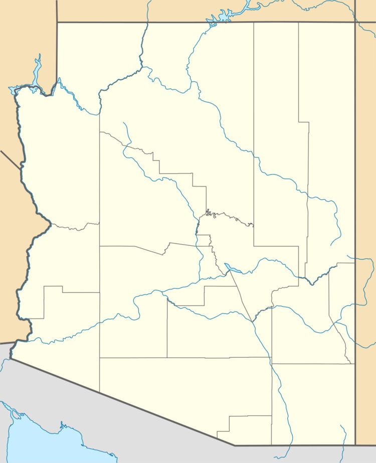
Blue Gap (Navajo: Tachíí/Bis Dootłʼizh Ndeeshgiizh) is an unincorporated community in Apache County, Arizona, United States. Blue Gap is on the Navajo Nation 22 miles (35 km) west of Chinle. Blue Gap has a post office with ZIP code 86520.
Map of Blue Gap, AZ 86520, USA
References
Blue Gap, Arizona Wikipedia(Text) CC BY-SA