
Time zone SAST (UTC+2) Area 11,068 km² Black african population 59% Native english speakers 3.4% | Wards 6 Municipal code EC102 White population 6.8% Native afrikaans speakers 43.2% Native xhosa speakers 51.3% | |
 | ||
District | ||
Rare cars for sale blue crane route local municipality south africa
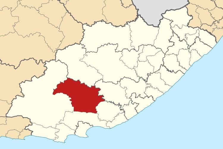
Blue Crane Route Local Municipality (Afrikaans: Bloukraanroete Plaaslike Munisipaliteit) is an administrative area in the Cacadu District of the Eastern Cape in South Africa.
Contents
- Rare cars for sale blue crane route local municipality south africa
- Map of Somerset East South Africa
- Main places
- Politics
- References
Map of Somerset East, South Africa
The municipality is named after the South African national bird, the blue crane.
Main places
The 2001 census divided the municipality into the following main places:
Politics
The municipal council consists of eleven members elected by mixed-member proportional representation. Six councillors are elected by first-past-the-post voting in six wards, while the remaining five are chosen from party lists so that the total number of party representatives is proportional to the number of votes received. In the election of 3 August 2016 the African National Congress (ANC) won a majority of seven seats on the council. The following table shows the results of the election.