
Country United States GNIS feature ID 1169864 Population 1,031 (2010) Local time Sunday 4:29 AM | State Pennsylvania Time zone Eastern (EST) (UTC-5) Zip code 17506 Area code 717 | |
 | ||
Weather -10°C, Wind N at 10 km/h, 52% Humidity | ||
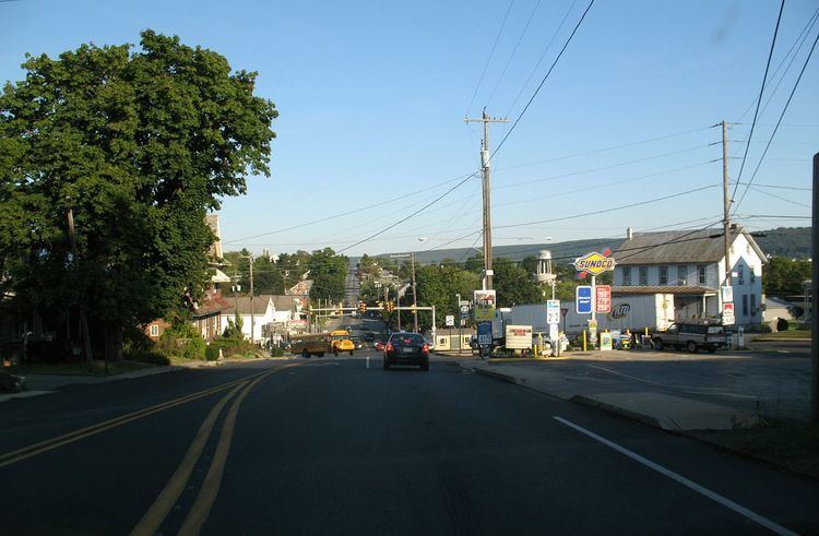
Blue Ball is an unincorporated community and a census-designated place in East Earl Township, Lancaster County, Pennsylvania near 40°N 76°W. Blue Ball lies approximately 2 miles east-northeast of the town of New Holland, Pennsylvania at the intersection of US 322 and PA Route 23. As of the 2010 census the population was 1,031 residents.
Contents
Map of Blue Ball, PA, USA
Name and origin
The name originates from the Blue Ball Hotel, built more than two hundred years ago, which stood on the southeast corner of the PA 23-US 322 crossroads. The inn was torn down in 1997. In the early 18th century, John Wallace built a small building in Earl Town at the intersection of two Indian trails, French Creek Path (Route 23) and Paxtang (Route 322). He hung a blue ball out front from a post and called it "The Sign of the Blue Ball." Locals soon began calling the town "Blue Ball" after the inn. In 1833, Earl Town officially changed its name to Blue Ball. During Prohibition, the inn changed its name to Blue Ball Hotel.
Trivia
The town's name is suggestive, alluding as it does to the slang term "blue balls" (1916), also known as "hot nuts," which refers to the sexual condition of temporary testicular and prostate fluid congestion due to prolonged and unsatisfied sexual excitement The publisher of Eros once asked that its magazine be mailed from Intercourse. Intercourse and Blue Ball are often listed among the "delightfully-named towns" in Pennsylvania Dutchland, alongside Mount Joy, Lititz, Bareville, Bird-in-Hand, and Paradise.