Airport type Public 18/36 3,401 Elevation 271 m | Owner City of Bloomfield Elevation AMSL 888 ft / 271 m 3,401 1,037 Phone +1 641-664-1255 | |
 | ||
Address 20956 230th St, Bloomfield, IA 52537, USA Similar City Of Bloomfield, Bloomfield Muni, Lake Fisher Park, Bloomfield Street Departme, Centerville Municipal Airport pri | ||
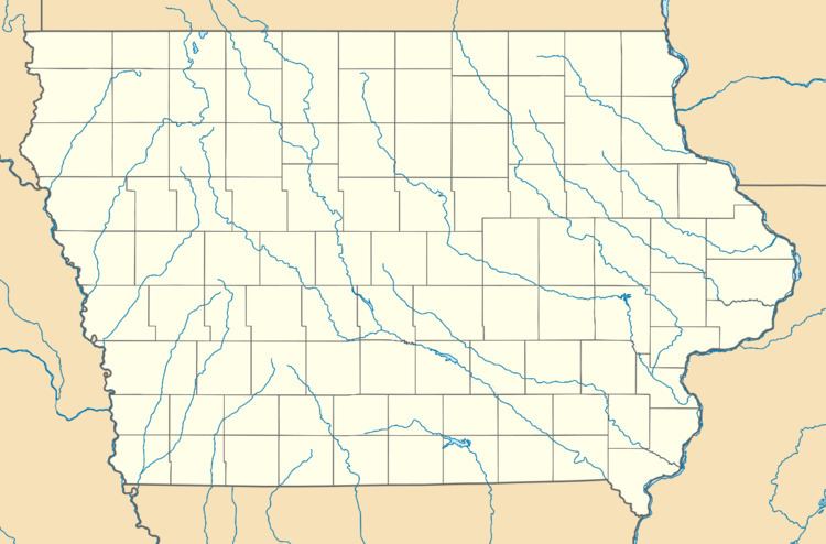
Bloomfield Municipal Airport (FAA LID: 4K6) is a city owned public use airport located two miles (3 km) southwest of the central business district of Bloomfield, a city in Davis County, Iowa, United States.
Facilities and aircraft
Bloomfield Municipal Airport covers an area of 43 acres (17 ha) and has one runway designated 18/36 with a concrete surface measuring 3,401 by 50 feet (1,037 by 15 m). For the 12-month period ending May 18, 2006, the general aviation airport had 4,868 aircraft operations, an average of 13 per day.
References
Bloomfield Municipal Airport (Iowa) Wikipedia(Text) CC BY-SA
