
Country Netherlands City Doetinchem Province Gelderland | COROP Achterhoek Time zone CET (UTC+1) | |
 | ||
De Bloemenbuurt (formerly Oosseld, historically written as Oosselt) is a district within, and former hamlet of the municipality of Doetinchem, located in the Dutch province of Gelderland. Until 1919 Oosseld belonged to the municipality Ambt Doetinchem. Koekendaal and Ter Gun are parts of Ooseld as well.
Contents
Map of Oosseld, Netherlands
History
At the first population census, following the introduction of the Burgerlijke Stand, Oosseld consisted of 79 houses and 580 citizens. In 1870 there were 741 citizens, and by 1890 the population had once again decreased, this time to 572. The Roman Catholic church of Ter Gun had services held by the pastor of Wijnbergen, which nowadays is part of the municipality of Doetinchem, but was included in the municipality of Bergh at that time.
Dissecting the district is the train route Winterswijk - Zevenaar. On this route the hamlet had a stop, shared with Gaanderen, Stopplaats Gaanderen-Oosselt.
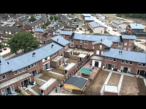
In 2006 work started on refurbishing the district. This was done by demolishing old, mostly out of service buildings, and replacing them with new buildings. Notable buildings that were demolished were the three apartment buildings alongside the highway A18 (Arnhem - Varsseveld). In this refurbishing process the mall has gotten a major facelift. Starting 2006 the district is named Bloemenbuurt.
In 2010 the refurbishing process has finished. The former traditional district of Oosseld therewith changed to a new and modern district.