
Location Tinn, Telemark, Norway Elevation 1,342 m | Topo map 1618 I Tinnsjå Parent range Blefjell | |
 | ||
Similar Styggmann, Fagerfjell, Andersnatten, Jonsknuten, Gaustatoppen | ||
Bletoppen is a mountain in Tinn, Telemark, Norway, and is the highest point in the mountain area Blefjell.
Map of Bletoppen, 3652 Hovin i Telemark, Norway
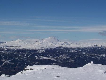
From the summit there is a view to Jonsknuten and Skrimfjella in southeast, Lifjell in southwest, Gaustatoppen in west, and Hardangervidda in north west.
The summit is most easily reached by following a marked trail from the parking lot at Nordstul, 3 to 4 hours hike in the summer. Numerous shorter paths starts at the road to Fosskard and goes up the steep western side of Blefjell.
References
Bletoppen Wikipedia(Text) CC BY-SA