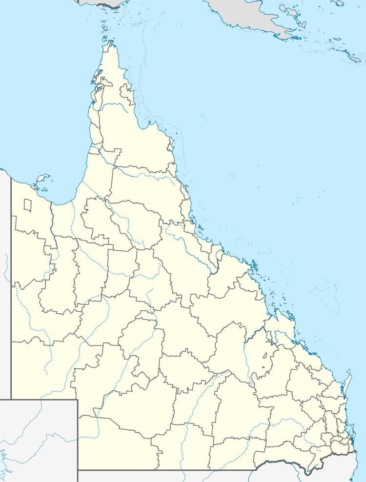
Population 259 (2011 census) Postal code 4341 | Postcode(s) 4341 | |
 | ||
Blenheim is a rural locality of the Lockyer Valley Region, Queensland, Australia. In the 2011 census, Blenheim had a population of 259 people.
Contents
Map of Blenheim QLD 4341, Australia
History
Originally the district was known as Sandy Creek, but later it was named Blenheim after Blenheim Park in Oxfordshire, England, which was in turn named after the Battle of Blenheim.
Blenheim State School opened on 7 Apr 1879, with an initial enrolment of 73 pupils.
In 1895, a German Baptist church was established at Blenheim under the leadership of C. Muetzelburg. As time passed, the desire for German language church services diminished and, due to falling numbers attending, the church was closed and physically relocated to Laidley.
References
Blenheim, Queensland Wikipedia(Text) CC BY-SA
