
Population 940 (2004) Sovereign state United Kingdom Local time Saturday 11:42 PM District Wycombe District | OS grid reference SU798976 Post town HIGH WYCOMBE Dialling code 01494 | |
 | ||
Weather 5°C, Wind SW at 21 km/h, 86% Humidity | ||
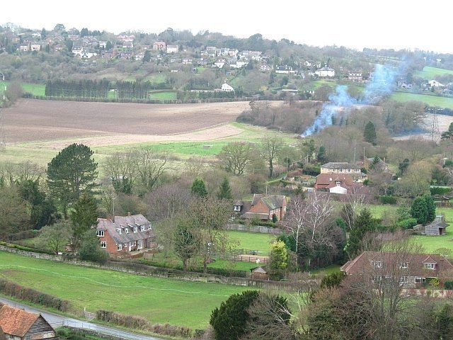
Bledlow Ridge is a village in the civil parish of Bledlow-cum-Saunderton (where the 2011 Census population was included) in Buckinghamshire, England. In 2004 the population was 940. It is situated in the Chiltern Hills, about 4 miles SSW of Princes Risborough and on the road between the High Wycombe and Chinnor.
Contents
Map of Bledlow Ridge, High Wycombe, UK
Originally the hamlet was within the ecclesiastical parish of Bledlow. It gained separate status in 1868 when the new chapel, dedicated to St Paul, was constructed.
In common with other similar villages in the Chiltern Hills properties have become increasingly sought after due to its location and the improvement in rail and road connections to London. It has a recently refurbished village shop, The Country Store (formerly the "Kedai"), and a local school, Bledlow Ridge School. Bledlow Ridge has a number of clubs such as 'Bridge' a youth club and a cricket club. As well as the corner shop, there is also an Equestrian Centre, park, tennis courts and a cricket pitch owned by the 'Bledlow Ridge Cricket Club'. Yoesden, south of Chinnor Road, is a nature reserve managed by the Berkshire, Buckinghamshire and Oxfordshire Wildlife Trust.