
Population 167 (2011) Civil parish Bleasdale Local time Saturday 11:29 PM District Wyre | OS grid reference SD572455 Sovereign state United Kingdom Dialling code 01995 | |
 | ||
Weather 6°C, Wind S at 16 km/h, 87% Humidity | ||
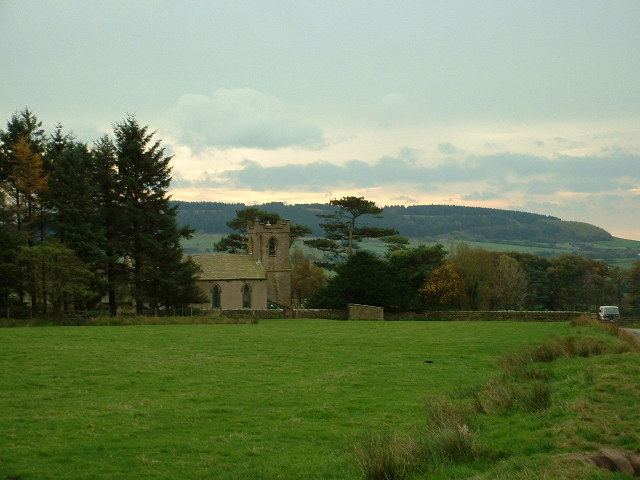
Bleasdale is a village and civil parish in the Wyre district of Lancashire, England, in the Forest of Bowland Area of Outstanding Natural Beauty. The two sources of the River Brock lie within the parish. According to the 2001 census, it had a population of 147 increasing to 167 at the 2011 Census.
Contents
Map of Bleasdale, Preston, UK
Within the parish are:
The ancient Forest of Bleasdale is less well known than its more famous neighbour, the Forest of Bowland but its history is recounted by Smith. Being a part of Wyresdale, Bleasdale never fell under the sway of the powerful medieval Lordship of Bowland.
Notable buildings
Geodesy
"Paddy's Pole" on Fair Snape Fell in Bleasdale parish was the origin (meridian) of the 6 inch and 1:2500 Ordnance Survey maps for Lancashire.
References
Bleasdale Wikipedia(Text) CC BY-SA