Time zone EET (UTC+1) Elevation 121 m Local time Saturday 11:29 PM | First written mention 1286 Postal Code 930 32 Area 10.77 km² Population 826 (2001) | |
 | ||
Weather 11°C, Wind SE at 13 km/h, 59% Humidity | ||
United powers crew blatn na ostrove freestyle
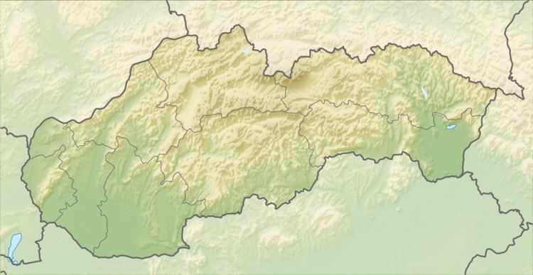
Blatná na Ostrove (Hungarian: Sárosfa, [ˈʃaːroʃfɒ]) is a village and municipality in the Dunajská Streda District in the Trnava Region of south-west Slovakia. It has a post-office, a food store, a petrol station, and a bar. There is also a football playground and a public library in the village.
Contents
- United powers crew blatn na ostrove freestyle
- Map of 930 32 BlatnC3A1 na Ostrove Slovakia
- History
- Notable people
- References
Map of 930 32 Blatn%C3%A1 na Ostrove, Slovakia
History
In the 9th century, the territory of Blatná na Ostrove became part of the Kingdom of Hungary. After the Austro-Hungarian army disintegrated in November 1918, Czechoslovak troops occupied the area, later acknowledged internationally by the Treaty of Trianon. Between 1938 and 1945 Blatná na Ostrove once more became part of Miklós Horthy's Hungary through the First Vienna Award. From 1945 until the Velvet Divorce, it was part of Czechoslovakia. Since then it has been part of Slovakia.
