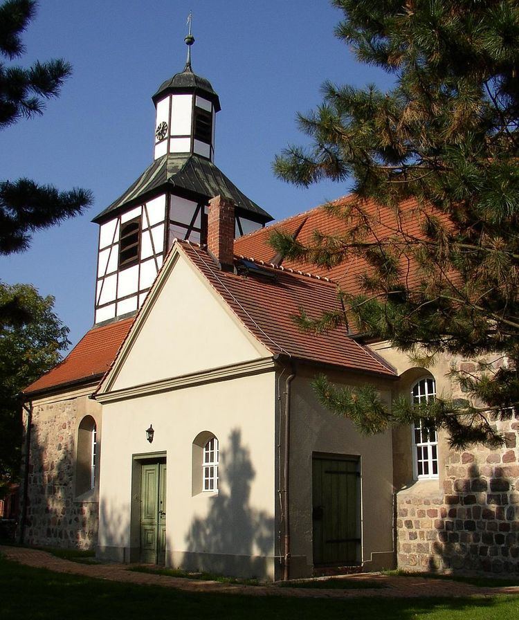
Postal codes 15827, 15831 Area 54.89 km² Local time Saturday 10:08 PM | Time zone CET/CEST (UTC+1/+2) Dialling codes 03379 Population 25,501 (31 Dec 2008) Dialling code 03379 | |
 | ||
Weather 9°C, Wind E at 11 km/h, 63% Humidity | ||
Blankenfelde-Mahlow is a municipality in the Teltow-Fläming district of Brandenburg, Germany. It is situated approximately 3 kilometres (2 miles) south of Berlin.
Contents
Map of Blankenfelde-Mahlow, Germany
History
The municipality shared its borders with the former West Berlin, and so during the period 1961-1990 it was separated.
Demography
Blankenfelde-Mahlow is the most populous rural municipality ("Gemeinde") in what was formerly East Germany, and the 9th-most populous overall in Germany (as of 31 December 2012).
References
Blankenfelde-Mahlow Wikipedia(Text) CC BY-SA
