
Population (2010) 2,971 Local time Saturday 9:56 PM | Region Normandy Area 17.45 km² | |
 | ||
Weather 7°C, Wind SW at 21 km/h, 83% Humidity | ||
Blangy-sur-Bresle is a commune in the department of Seine-Maritime in the Haute-Normandie region of northern France.
Contents
Map of 76340 Blangy-sur-Bresle, France
Geography
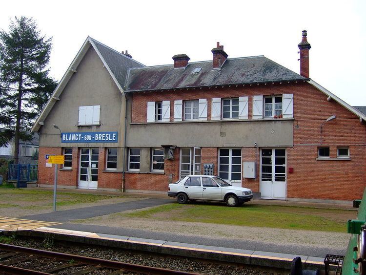
Blangy is a small town situated in the valley of the River Bresle – which here forms the border between Normandy and Picardie – some 40 kilometres (25 mi) east of Dieppe in the Pays de Bray. Forestry, farming, and light industry are the main economic activities. The town lies on the D49 and the D928 roads close to junction 5 of the A29 motorway. There is an SNCF railway station from which TER services run to Beauvais and Le Tréport.
Places of interest
Notable people
References
Blangy-sur-Bresle Wikipedia(Text) CC BY-SA