
Country France Department Cher Intercommunality Sauldre et Sologne Area 64.35 km² Arrondissement Vierzon | Region Centre-Val de Loire Canton Argent-sur-Sauldre Population (2008) 1,131 Local time Saturday 9:19 PM | |
 | ||
Weather 6°C, Wind S at 18 km/h, 89% Humidity | ||
Blancafort is a commune in the Cher department in the Centre region of France.
Contents
Map of 18410 Blancafort, France
Geography
A forestry and farming village situated in the valley of the river Sauldre, some 33 miles (53 km) north of Bourges at the junction of the D8, D30 and the D39 roads. The commune has a border with the department of Loiret. A canal was built here in the nineteenth century to ease drainage and provide transport links. The canal de Sauldre was last used commercially in the 1920s.
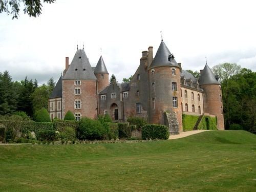
Sights
References
Blancafort Wikipedia(Text) CC BY-SA